8
/ 60
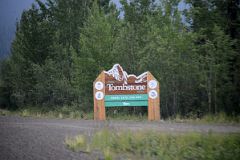
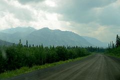
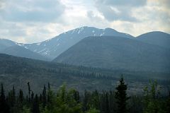
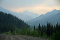
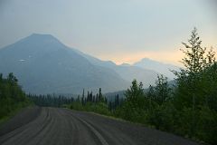
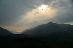
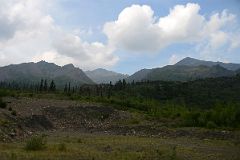
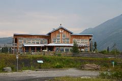
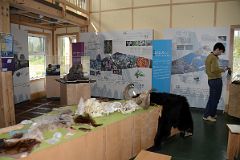
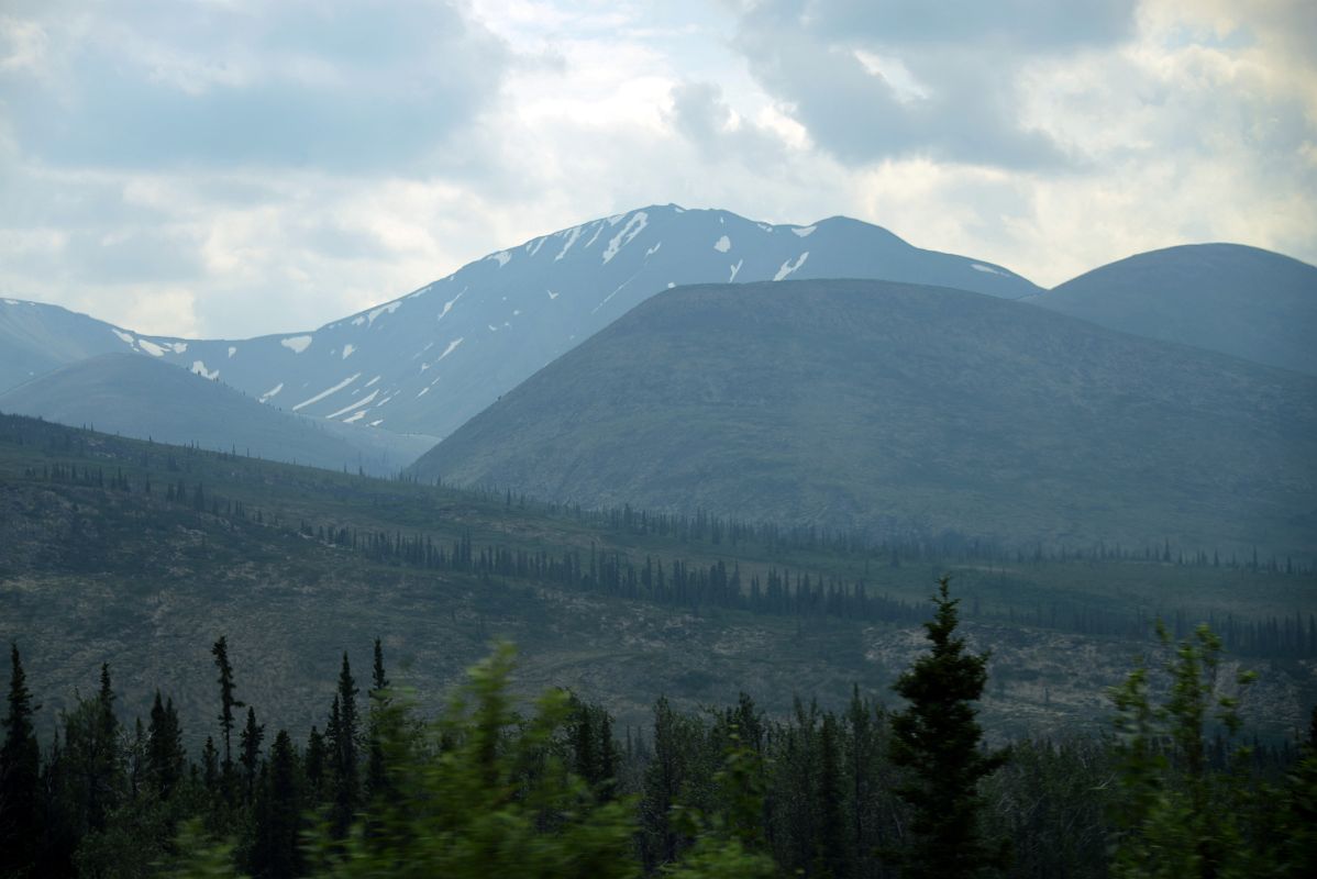
03C Mountain From The Dempster Highway In Tombstone Park Yukon Near The Interpretive Centre